


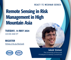
Remote Sensing in Risk Management in High Mountain Asia
An increasing number of high-impact disasters are being reported from High Mountain Asia, some of which have been studied with astonishing detail relying on remote sensing data. Regional capacities to respond to these evolving hazard chains, both in academic as well as governmental environments are however less well known and sometimes available capacities remain untapped. We will look at some of these capacities and associated challenges through the prism of recent events and explore potential ways ahead for international capacities to contribute to further improve our responses.

Call for GRSS YP Ambassadors
Are you an IEEE Geoscience and Remote Sensing society (GRSS) member who graduated from your first professional degree within the past 15 years – an
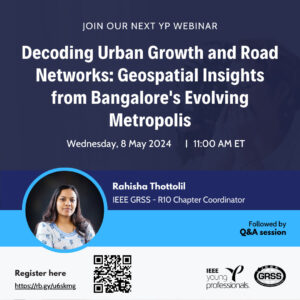
Decoding Urban Growth and Road Networks: Geospatial Insights from Bangalore’s Evolving Metropolis
The rapid urbanization of Indian cities driven by economic liberalization and industry centric growth has resulted in significant transformation of land use and land cover within urban areas and their surrounding regions.
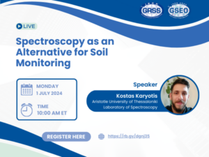
Spectroscopy as an Alternative for Soil Monitoring
Soil spectroscopy is the process of estimating soil properties from near- and/or mid-infrared spectra captured from soil samples, either in the field or in a lab.

Three Minute Thesis IGARSS 2024
This esteemed academic challenge, pioneered by the University of Queensland, aims to refine students’ research communication and presentation abilities by summarizing their thesis in just three minutes to a general audience, aided by a single static slide.
Visiting Assistant Professor – Clark University Graduate School of Geography
The Graduate School of Geography at Clark University seeks to fill a 2-year visiting Assistant Professor position in Geographic Information Science (GIS) to begin August 2024.
Towards Digital Twin: Introduction to Foundation Models for Geoscience
The webinar will explore two foundation model designs, emphasizing their role in understanding earth processes and contributing to the development of Digital Twin technology.
GRSS AdCom Self Nomination Period Ends Soon
The self-nomination period for the upcoming IEEE-GRSS AdCom election is ending soon!

Open Volunteer Position: IEEE GRSS Webinar Strategist
Dive into the world of webinars with IEEE GRSS! We’re looking for an enthusiastic volunteer to join us as a Webinar Strategist!

Enhancing Spectral Science Support for Armed Services
This presentation aims to explore the critical role of spectral science in bolstering support for armed services.
Post-doctoral position: NSF funded in Remote Sensing/ML/Flooding/Equity at University of Arizona
The Social Pixel lab at the University of Arizona is seeking a post-doctoral researcher to map floods using machine learning and satellite imagery to understand inequity in urban flood adaptation and build capacity for environmental justice organizations.
Progress in NASA’s Surface Topography and Vegetation Study
How do Earth’s changing surface and overlying vegetation inform us about natural disasters, carbon fluxes, ecosystem habitats, sea level rise impacts, and water availability? NASA’s Surface Topography and Vegetation (STV) Study aims to address this and other discipline specific questions.